


- Rathaus & Bürger/in
- Aktuelles
- Bürgerservice
- Stadtverwaltung
- Stadtrat
- Bürgerbeteiligung
- Politische Beiräte
- Wahlen
- Zukunft Trier
- Internationale Beziehungen
- Stadt - Region - Land
- Trier in Zahlen
- Leben in Trier
- Trier auf einen Blick
- Ortsbezirke
- Gesundheit
- Sicherheit
- Hochwasser & Starkregen
- Gleichstellung
- Entwicklungspolitik
- Religion
- Familie & Kinder
- Jugendliche
- Senioren
- Ehrenamt und Stiftungen
- Inklusion
- Menschen mit Behinderungen
- Integration
- Neu in Trier
- Innenstadtentwicklung
- Soziale Planung
- Soziale Sicherung
- Sterbefall
- Kultur & Freizeit
- Wirtschaft & Arbeit
- Bildung & Wissenschaft
- Ausbildung und Studium
- Schulbildung
- Erwachsenenbildung
- Kommunales Bildungsmanagement
- VHS
- Bibliotheken / Archive
- Bauen & Wohnen
- Umwelt & Verkehr
- Klimaschutz
- Luft & Lärm
- Naturschutz
- Strom, Gas, Wasser
- Abfall
- Elektromobilität
- Öffentlicher Verkehr
- Radverkehr
- Baustellen
- Parken
- Verkehrsplanung
- Verkehrsanbindung
- Verkehrsüberwachung
- Cattenom
- Hitzeschutz
Sie befinden sich hier: Startseite >
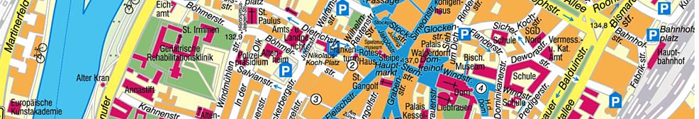
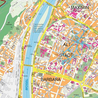
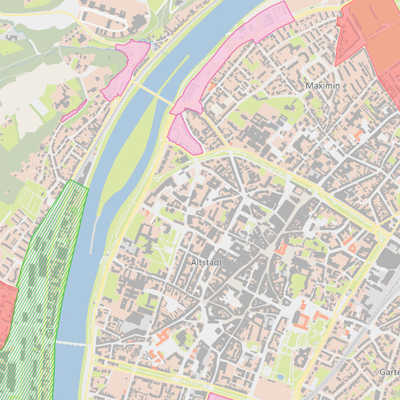
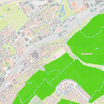
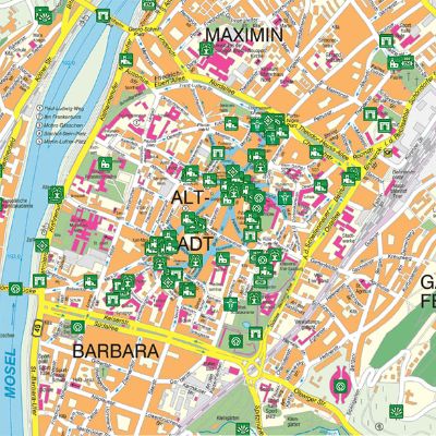
Bauen & Wohnen > Geoinformationen > Geoportal 2D > Geoportal (en)
Ansprechpartnerin
Institution: Amt für Bodenmanagement und Geoinformation
Frau Viola Kohr
Gerty-Spies-Straße 2
54290 Trier
Telefon: 0651/718-3690
E-Mail: Kontaktformular
Frau Viola Kohr
Gerty-Spies-Straße 2
54290 Trier
Telefon: 0651/718-3690
E-Mail: Kontaktformular
Versionen
Stadtverwaltung Trier
Am Augustinerhof
54290 Trier Telefon 0651/718-0
Telefax 0651/718-4100
Am Augustinerhof
54290 Trier Telefon 0651/718-0
Telefax 0651/718-4100


© 2025 Stadt Trier